This Year’s ‘Super El Niño’ Could Rewrite Climate Records – What Scientists Are Saying
Climate stories rarely arrive with this much tension packed into a single forecast. Across the Pacific, the last traces of La Niña are fading, and forecasters now see a credible path toward El Niño later in 2026. That shift would draw attention in any year, yet this is not any year. The world has just come through a run of extraordinary heat, with oceans holding immense stored energy and global temperatures still hovering near record territory. In that setting, even a developing El Niño carries far more weight than the phrase usually suggests. It is not just a climate label. It is a signal that a major driver of global weather may soon begin adding pressure to a system already under strain.
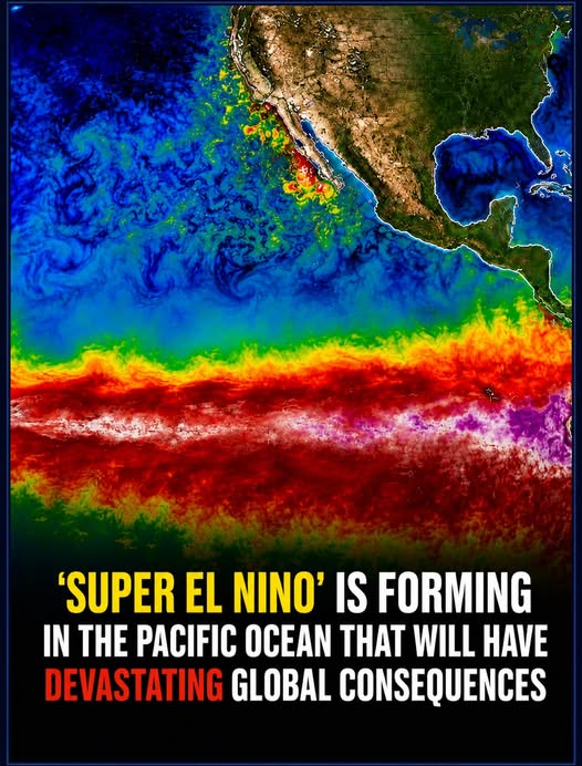
Even so, scientists are not declaring a super El Niño, and they are not speaking in absolutes. NOAA expects a transition to ENSO-neutral conditions first, then says El Niño is likely to emerge in June through August, with a 62% chance. WMO also says neutral conditions remain the leading near-term outcome before El Niño odds build later in the year. That leaves this story balanced between rising concern and real uncertainty. The forecast has turned serious. The strongest version of the headline has not been confirmed. What scientists are saying, in essence, is sharper and more useful than hype. Watch the Pacific closely, respect the uncertainty, and pay attention to what a warming world could do with one more push.
The forecast is getting warmer, but the evidence still has limits
It’s Official: Scientists Reveal Who’s Fueling Global Warming
NOAA’s March 2026 ENSO discussion marks a real turn in the outlook, yet it does not justify certainty. La Niña still lingered through February, with below-average sea surface temperatures across the east-central Pacific. The latest weekly Niño-3.4 reading sat at -0.5°C, showing weaker cooling, not a finished reversal. NOAA expects the leftover La Niña pattern to fade soon. It favors neutral conditions from May to July. After that, El Niño becomes the leading scenario from June to August. NOAA gives that outcome a 62% chance. It also says the event could last through late 2026. IRI’s forecast points the same way, though with its own probabilities and caveats. Its March outlook favors neutral conditions at about 90% for March to May.

El Niño odds then rise quickly after spring. Drought.gov, summarizing NOAA analysis, says about 80% of model runs cross the El Niño threshold by early fall. That combination explains the growing attention. Forecasters are not reacting to a single warm patch on a map. They are watching a broader shift in ocean conditions. Warmer subsurface water can rise and support later surface warming. That hidden heat matters because El Niño often builds from below. The atmosphere usually responds later. The transition signal, therefore, looks real. It also remains incomplete, which is why the official message stays measured. NOAA still lists both a La Niña Advisory and an El Niño Watch. That pairing captures the present moment well. The Pacific is moving, yet it has not finished moving.
Scientists also stress that timing and strength remain harder to pin down than most headlines suggest. NOAA says the potential strength remains “very uncertain” if El Niño forms. The agency gives only a 1-in-3 chance of strong conditions in late 2026. WMO’s March update echoes that caution. It says neutral conditions still look most likely in the near term. It also notes that forecast confidence drops across the boreal spring. That seasonal weakness is known as the “spring predictability barrier,” when model skill often slips. In plain terms, the ocean and atmosphere can change direction more easily during this period. That does not make the forecast empty. It means careful forecasters avoid pretending that June or October is already settled.
The same restraint applies to the phrase super El Niño. NOAA’s official outlook does not use that label. Climate.gov has also noted that upper-end strength thresholds remain unofficial. Scientists can discuss a path toward a strong event. They still separate that possibility from what the data prove today. That distinction matters because seasonal outlooks guide farming, water planning, disaster preparation, and insurance decisions. Those sectors need realistic probabilities, not inflated language. The best reading of the evidence is straightforward. The ocean is warming, and the models increasingly agree on a turn. Yet the strongest version of the story still outruns the evidence available now. Many forecasts improve after spring has passed. That is another reason scientists resist dramatic wording in March. They know the broad direction can be correct while key details still shift.